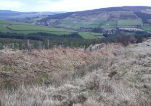
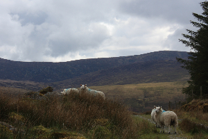
As a pilot project, one of the key undertakings of SUAS is the publication of reports, guides and documents to offer insight to the project’s framework, objectives and outcomes and to share knowledge gained in the process
SUAS Pilot Project Plan
End of Year Reports
Site Documents – Phase 1 and 2
One of the key innovations of the project is that each of the participating sites included in the first and second phase, have their ecology and hydrology examined and recorded incrementally throughout the duration of the project.
The study period began with the recording of baseline levels, which along with all subsequent observations, will evaluate the effectiveness of the management plans and the impact their implementation has had on each site.
Following the completion of the baseline reports, and working in a collaborative manner with all participants, a number of habitat actions and management recommendations were made to guide the creation of bespoke Management Plans for each location.
This study and the authoring of reports is being undertaken by leading consultant ecologist, Faith Wilson, who is working closely with the commonage groups and individual farmers selected to participate in phase one and two of the project.
The published findings including the ‘Baseline Reports and Management Recommendations’ and ‘Annual Habitat Reviews’ for each of these sites are available from this page once they are published – currently that extends from 2018-2021.
Documents: Commonages
Glasnamullen
Located on the northeast of the Wicklow Uplands, on the slopes of Djouce Mountain and White Hill and facing the well-known Great Sugarloaf.
Granamore
Located in the west of County Wicklow, 5km south of the Blessington Lakes.
.
.
Ballybeg
Located on the slopes of Black Hill in the south part of County Wicklow.
.
.
Carrigeenduff
Located in the middle of the Wicklow Uplands, this very large commonage (674 ha) includes lands close to Lough Dan and the Glenmacnass Waterfall and the summits of Mullaghcleevaun East Top and Duff Hill.
Glassavullaun
Located in the Dublin Uplands, rising to the summits of Seefingan and Corrig Mountain..
.
.
Corrasillagh
Located in the middle of the Wicklow Uplands, the commonage extends from the Glenmalure Valley rising to the shoulder of Lugnaquilla and includes the ridges and summit of Cloghernagh.
Slievemweel
Located close to Askanagap in the southern Wicklow Uplands
Documents: Non-Commonage Upland Areas
Powerscourt Paddock
Located in the northeast of County Wicklow, to the south of the famous Powerscourt Estate.
.
Kilmashogue
Located on the slopes of south County Dublin’s Two Rock Mountain (also known as the Fairy Castle).
.
Ballynultagh
Located in the Wicklow Uplands, Ballynultagh adjoins the commonage of Carrigeenduff and extends to summits such as Mullaghcleevaun East Top.
Water Quality Monitoring
Small headwater streams are a significant habitat resource and play an important role capturing and regulating the flow of water to rivers downstream. These headwaters support a myriad of species but they are vulnerable to pollution and can influence water quality further downstream. Many of the streams in the Wicklow and Dublin Uplands will also eventually flow into reservoirs that in turn provide drinking water to North County Wicklow and Dublin, e.g. the Poulaphouca, Vartry and Bohernabreena Reservoirs and so it is really important to protect and maintain water quality in these headwaters.
The SUAS Project was keen to monitor water quality across participating sites. The purpose –
- To establish a baseline of water quality before any actions were carried out
- To identify any pressures that could be addressed by habitat management actions
- Follow up monitoring to determine if the habitat management actions had an effect on water quality in the surrounding streams.
Aquatic macroinvertebrate monitoring was conducted across nine SUAS sites at twenty-nine unique sample locations in 2019/2020 and this was repeated in 2022. The samples were assessed according to the Small Streams Risk Score (SSRS). The SSRS is a biological risk assessment system for identifying rivers that are definitely ‘at risk’ of failing to achieve the ‘good’ water quality status goals of the Water Framework Directive (WFD). The presence or absence of specific groups of macroinvertebrates and their relative abundance determines the risk category. The categories are:
- Probably not at risk
- Intermediate (Steam may be at risk)
- Stream at risk
Of the twenty-nine locations sampled most remained unchanged (15) or improved (11) with two locations disimproving.
The water quality monitoring determined that, in general, the ecological health of the streams over three sites had improved and the remaining six unchanged. The full report can be viewed here: 2022 Aquatic Macroinvertebrate Monitoring Report

The contents of a kick sample – Carrigeenduff Commonage

Main Street,
Roundwood,
Co. Wicklow.
declan.suas@wicklowuplands.ie
www.wicklowuplands.ie/SUASproject

Project Manager,
SUAS Pilot Project.
The SUAS Pilot Project is operated by a wholly-owned subsidiary of Wicklow Uplands Council. Company Name: WUC-SUAS. CRO623917


